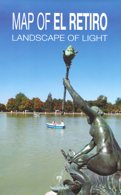
Map of El Retiro. Landscape of light
(0 Comentarios)
Comenta y valora este mapa
- ISBN: 9788409454495
- Escala: 1:2.500
- Editorial: Wadi Books
- Fecha de la edición: 2022
- Edición: 1ª
- Idiomas: Inglés
- Tipo: Turísticos y carreteras
- Zona: España > Madrid
pvp.9,00 €
Información detallada:
Resumen del mapa
The Retiro Park is one of the most representative symbols of the city of Madrid and one of the most important historical gardens in Spain.
It was created at the beginning of the 17th century as a landscape complement to the Buen Retiro Palace. Its use as an urban park dates back to 1767, when Carlos III opened it partially to the people of Madrid, and fully, from 1868, when the Madrid City Council assumed ownership. As a reflection of its glorious past, it has a large number of buildings and monuments of the highest artistic relevance, as well as ponds and gardens designed according to the tastes of the time. Its 115-hectare extension is home to an important mass of trees made up of just over 19,000 specimens, belonging to 163 different species, including 7 Singular Trees cataloged by the Community of Madrid.
In 1935 it was declared by the Spanish State an Artistic-Historical Garden and in 1985 an Asset of Cultural Interest (BIC). More recently, in July 2021, it has been listed by Unesco as a World Heritage Site, in the Cultural Landscape category, within the "Paisaje de la Luz project".